Necropolis of Son Real Mallorca: Guide to the Coastal Archaeological Site
The Necropolis of Son Real is one of Mallorca's most important archaeological sites, with 143 Talayotic tombs on the coast of the Bay of Alcúdia. It sits just metres from the sea and can be seen from our boat trips.
A few metres from the sea, between Can Picafort and Son Serra de Marina, stands a group of stone structures that have been here for more than two and a half thousand years. The Necropolis of Son Real is a prehistoric burial site unlike any other in Mallorca: 143 tombs built in dry stone, on a strip of coast that has barely changed since they were raised.
Access is free, open and easy. What sets this site apart is not a grand museum, but the chance to contemplate these tombs a few steps from the water, in a landscape that preserves much of its original appearance.
What it is and why it matters
Son Real is a Talayotic necropolis, belonging to the culture that inhabited Mallorca between roughly 1200 and 100 BC, the same culture that built the talayots and navetas seen across the island.
What distinguishes Son Real is the type of tombs. At almost every Balearic site from this period, the dead were buried in caves, whether natural or cut into the rock. Not here. At Son Real, funerary structures were built above ground, with dry-stone walls, reproducing in miniature the architectural forms of the Talayotic world. Some have an oval plan like the navetas, others a square or circular plan like the talayots. There is no other site like it in Mallorca.
Excavations have recovered the remains of some 425 people from 143 tombs, with grave goods of pottery, bronze, glass and personal objects. The site was in use from the 7th to the 1st century BC, more than six hundred years across some 935 square metres of coastline.
Where it is
The necropolis lies on the Son Real public estate, in the municipality of Santa Margalida, between Can Picafort and Son Serra de Marina.
Coordinates: 39°45'18" N, 3°10'48" E
| Can Picafort (Son Bauló) | ~2 km, 20 min on foot along the coast |
| Son Serra de Marina | ~5 km |
| Port of Alcúdia | ~18 km |
You cannot drive to the site itself. Parking is at the entrance to the public estate.
Quick facts
| Official name | Necropolis of Punta dels Fenicis (Son Real) |
| Type of site | Talayotic necropolis |
| Culture | Late Talayotic |
| Chronology | 7th century BC – 1st century BC |
| No. of visible structures | 143 tombs + 4 on the Ilot des Porros |
| Access | Free, on foot from the Son Real public estate |
| Price | Free |
| Visit time | 30-45 min (necropolis) / 2-3 h (estate + interpretation centre) |
| Site area | ~935 m² |
| Visible from the sea | Yes, from our Coves and Caves |
Is it worth visiting?
If you are interested in history or archaeology, yes. The necropolis is freely accessible, well signposted, and the panels give enough context to understand what you are looking at. The setting helps: the sea in the background, pine woodland all around, no buildings in sight.
If you are after an archaeological experience with guides, audio guides or a spectacular museum, it is probably not for you. The site is austere: stones on open ground, panels in several languages. The estate's museum is interesting, especially for children, but it is not the main point of the visit.
If you are taking the Coves and Caves boat trip and passing the Son Real coast, seeing the structures from the water adds something you do not get from land: the scale of the complex beside the sea, the isolation of the coast, the Ilot des Porros in the distance.
How to visit it
By land
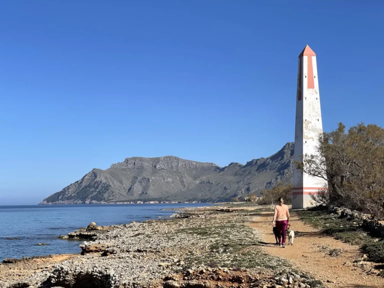
The most common approach is from Son Bauló (Can Picafort), on foot along the coastal walk for about 20 minutes. You can also park at the entrance to the Son Real public estate and follow the signposted route to the site.
The ground is uneven and stony, so wear closed footwear. There is no shade at the site; in summer it is best to go first thing in the morning or late in the day.
The site is open-air, with no protective buildings. The Interpretation Centre is housed in the estate's historic buildings (Es Sestadors and the Casa dels Senyors), opened in 2008. It covers rural Mallorcan life and the archaeological finds from Son Real.
Interpretation centre opening times:
October to March: 10:00 to 17:00
April to September: 10:00 to 19:00
Free entry. Contact: 971 18 53 63
From the sea
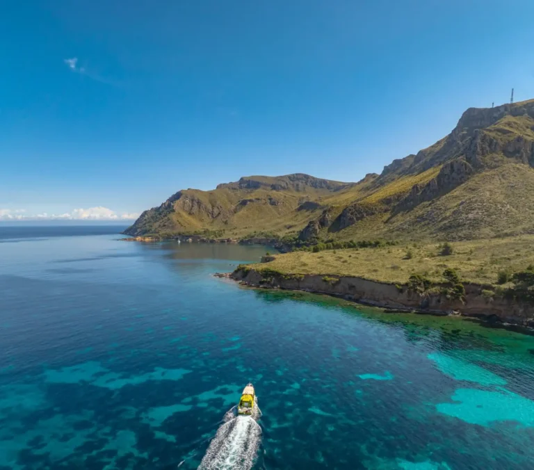
Our Coves and Caves departs from the Port of Alcúdia and sails northeast along the bay. As it passes the Son Real coast, the guide points out the cluster of low stone walls by the shore and explains that they have stood here for more than two thousand years. The boats do not come close because the water is shallow and there is posidonia, but from the sea you get a clear sense of the relationship between the site and the coastline. Our Private Boat Trips also cover this coast.
What you can see
The 143 stone-built tombs are the centrepiece. They are easy to make out: walls of small ashlar laid in oval or rectangular shapes, with horizontal slabs as roofing, although many have disappeared over the centuries. Some have been restored to show their original structure; others preserve only their bases.
The signage explains the difference between the tomb types and their chronology. The oldest tombs are concentrated at the end nearest the sea; the more recent and modest ones lie further inland.
About 100 metres offshore, visible from the water's edge, is the Ilot des Porros: a small islet with at least four tombs similar to those on the mainland. It can only be seen from the coast or reached by swimming. It is not open to conventional visits.
Nearby are the remains of a Talayotic settlement contemporary with the necropolis. Less striking visually, but important: the necropolis-settlement pairing is what gives the site its full meaning.
What it helps us understand about prehistoric Mallorca
Visiting Son Real changes your perception of who lived here before.
The first question that comes to mind is why beside the sea. It is no accident. In many Mediterranean cultures of the Iron Age, the sea was the boundary between the world of the living and the world of the dead. Building the cemetery at the water's edge carried a meaning that went beyond logistics. There is also a practical hypothesis: the tombs were visible from the sea, which may have served as a landmark for sailors who recognised this stretch of coast.
The second concerns the settlement. The cemetery did not stand alone. A few hundred metres away was a Talayotic settlement inhabited during the same centuries. The necropolis was the space of the dead; the settlement, that of the living. Separate but connected.
The third, and perhaps the hardest to explain, is why they built rather than dug. Most prehistoric Balearic islanders used caves to bury their dead. The people who lived here chose to build structures above ground. This suggests a community with a particular relationship with death and stone: the same culture that raised five-metre talayots, expressed here on a funerary scale.
Its place in the landscape
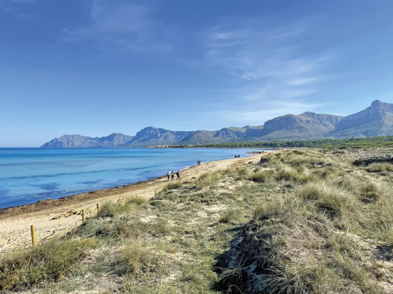
The site forms part of the Son Real public estate, a publicly managed rural property with pine woodland, fields and stretches of coast. Finding a prehistoric site, a traditional estate and an undeveloped stretch of coastline sharing the same space is a rare thing in Mallorca.
From the site you can see the Bay of Alcúdia in the background. On clear days you can make out the Tramuntana Mountains to the west. To the east, the coast becomes wilder and reaches the territory of the Llevant Natural Park.
When to go
In summer the site is exposed to the sun with no shade. It is best to go before 10:00 or after 17:00. In autumn and spring conditions are more comfortable and there are fewer people.
The site is accessible all year round because it is open-air. The Interpretation Centre closes earlier in winter (17:00 from October), so bear that in mind if you also want to visit the museum.
In our experience, a visit to Son Real combined with the coastal walk from Son Bauló is one of the quietest and least-known outings in the northern area. It is almost always uncrowded.
Practical tips
Closed footwear for the uneven ground. In summer, water and sun protection are essential because there is no shade at the site.
Standing on the structures, moving stones or collecting objects is prohibited.
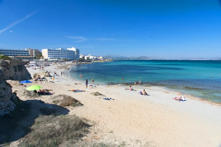
The visit can be combined with a beach day at Son Bauló or Son Serra de Marina, a few kilometres away.
If visiting with children, the Interpretation Centre offers more educational content than the site itself.
Frequently asked questions
Can you enter freely?
Yes. The site and the public estate are free and open to all. Only the Interpretation Centre has opening times (10:00-17:00 in winter / 10:00-19:00 in summer).
How long does the visit take?
The site itself covers about 935 m², so walking around it takes about 30-45 minutes. If you also visit the Interpretation Centre and walk around the estate, there is enough for 2-3 hours.
Can you see it from the boat?
On our Coves and Caves Boat Trip, the boat sails past this coast. The structures can be made out by the shore, although at a distance their small scale makes them easy to miss.
What exactly is there to see?
143 stone tombs shaped like miniature navetas and talayots. Explanatory panels in several languages. The Ilot des Porros, visible from the coast, holds additional tombs.
Is it suitable for children?
The site is interesting but austere. The estate's Interpretation Centre is more engaging for young children. The stony ground is not comfortable for the littlest ones.
Is there information on site?
Yes. There are panels in several languages and a signposted route. The estate's Interpretation Centre has an exhibition on the archaeological finds.
Which of our boat trips can you see it from?
The Coves and Caves Boat Trip. It departs from the Port of Alcúdia and skirts the Son Real coast on its way to the Llevant Natural Park.
Is there parking?
There is parking at the entrance to the Son Real public estate. You can also walk from Son Bauló (Can Picafort) in about 20 minutes along the coast.
When is the best time to go?
First thing in the morning in summer, to avoid the heat and direct sun. Autumn and spring have better conditions and fewer people.

Artà is a municipality in northeastern Mallorca with an inland old town and an unspoilt coastline. It is not a beach town but a gateway to the Llevant Natural Park and the wildest coves of the east coast.

The Llevant Natural Park protects the most unspoilt stretch of Mallorca’s northeastern coast, with cliffs over 200 metres high, sea caves and coves with no road access. It is the destination of our Coves and Caves boat trip.

150 metres from Alcanada beach lies a 4-hectare islet covered in pines and crowned by the Aucanada Lighthouse, in service since 1861. The water around it is among the clearest in the Bay of Alcúdia, thanks to the posidonia meadows.

The Port of Alcúdia is the departure point for all our boat trips and also a destination in its own right: seafront promenade, restaurants and direct access to the beach. In July and August the parking fills up before 10:00.

The Bay of Pollença is the most nautical bay in northern Mallorca. Sheltered by Cap Pinar and the Formentor Peninsula, it has calm waters almost all year round and unspoilt coves reachable only from the sea or on foot.

The Punta de l’Avançada Lighthouse stands at the tip of the point, inside a military zone closed to the public since 1940. It can only be seen from the sea.